
Reality, Captured
Your Site, In 3D
For AECO, Survey, Heritage, VFX, & more.
At BuildingReality, we capture buildings, sites and objects as photo-realistic 3D Gaussian Splats, detailed photogrammetry mesh models & accurate point clouds you can explore, measure and keep.
-
![An aerial view of an old stone tower with a tall chimney, surrounded by grassy paths and shrubbery.]()
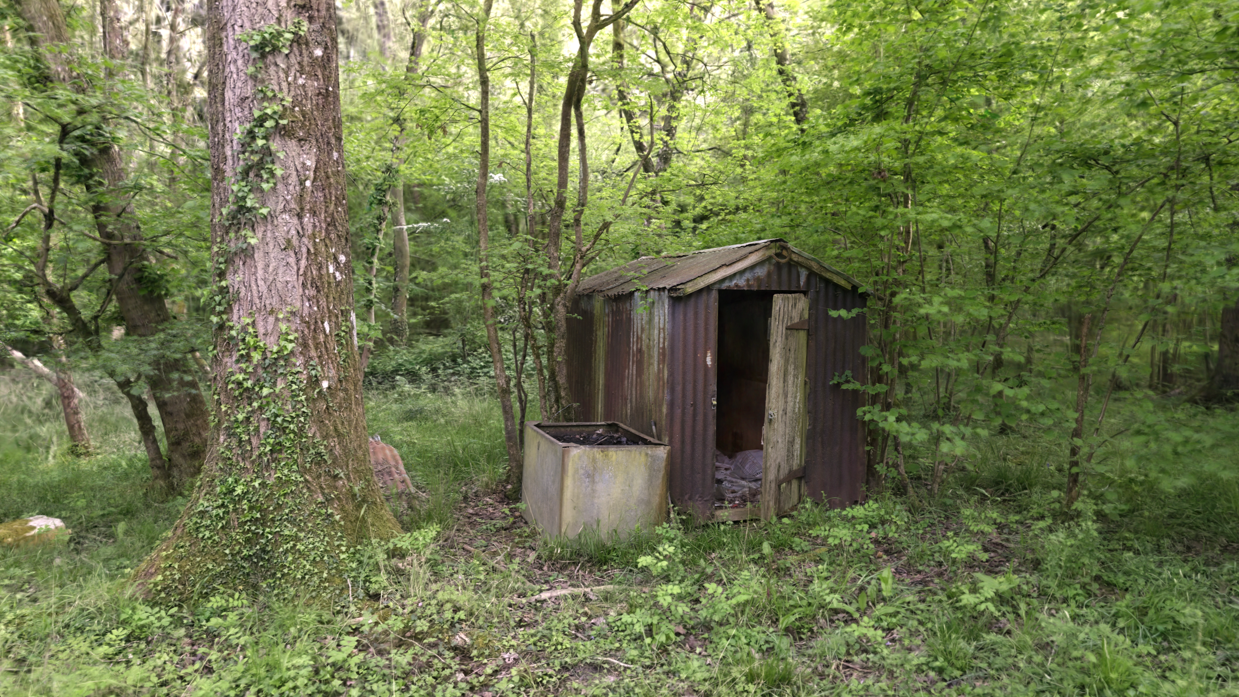
3D For Heritage
Capture a heritage asset as a 3D photo-realistic record for understanding and interpretation or as an accurate, scaled record of listed and at-risk fabric for repair and archive .
-
![]()
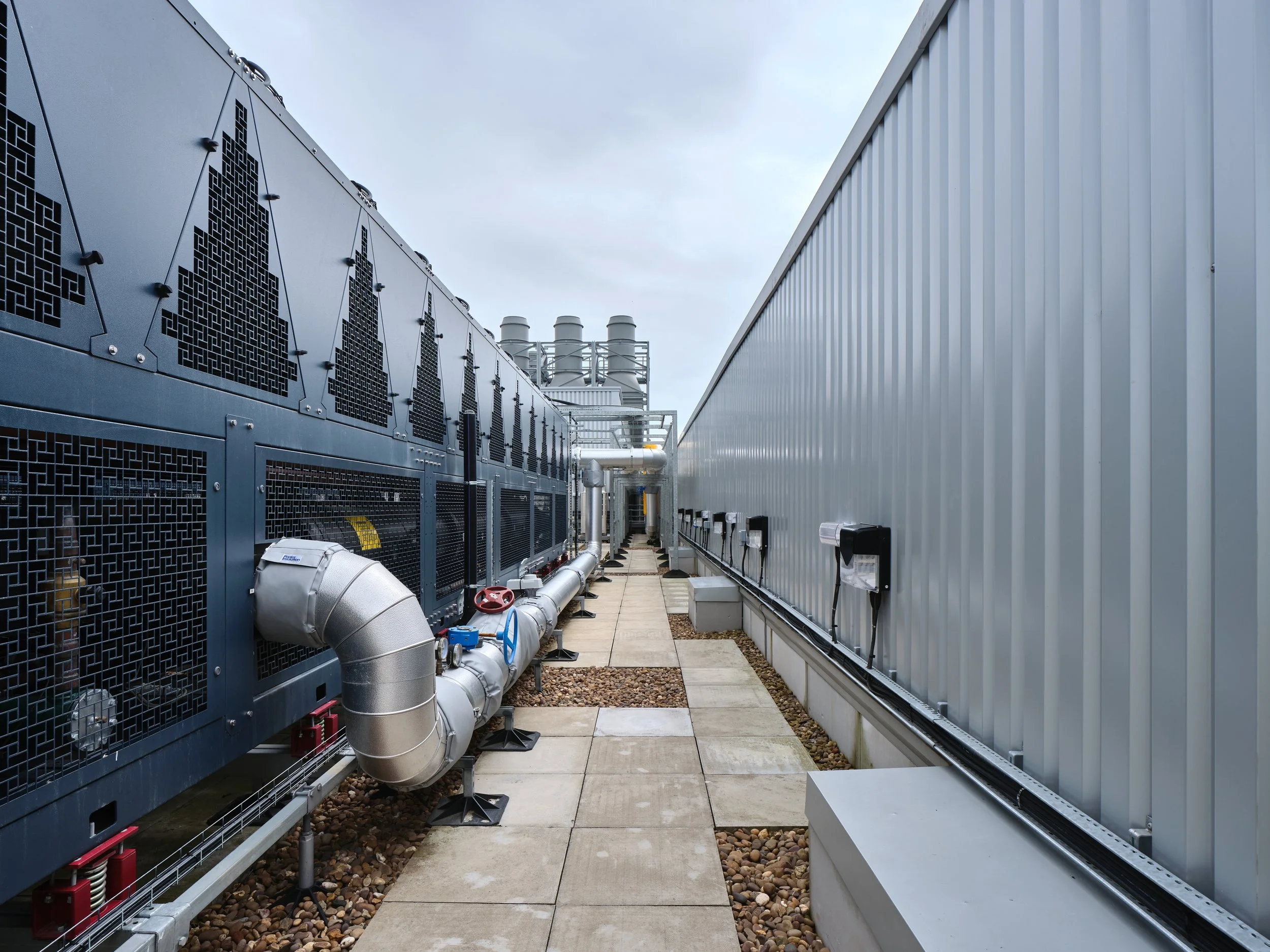
3D For Infrastructure & Inspection
Record and inspect detailed, controlled or hard-to-reach areas remotely. Captured as an accurate, measurable mesh to work from, or a photoreal Gaussian Splat that renders ultra fine detail
-
![]()
3D Environments For Film, TV & VFX
Photoreal capture of real locations using Gaussian Splatting to scout shots, or to use as backplates and environments in production.
-
![]()
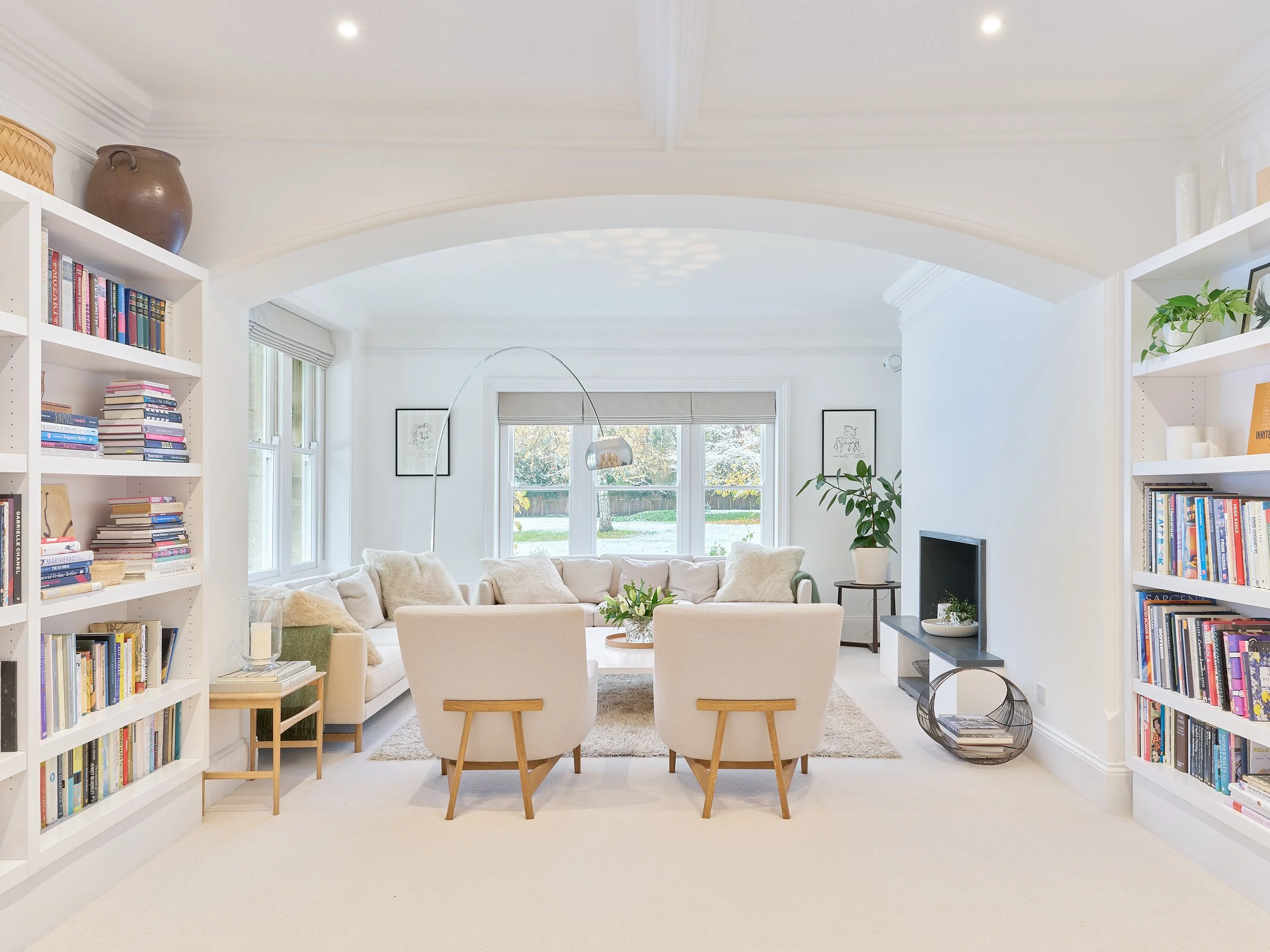
3D for Marketing & Property
Show a building or high-end property as a photoreal model people can move through, supplementing or replacing stills and drone video.
-
![]()
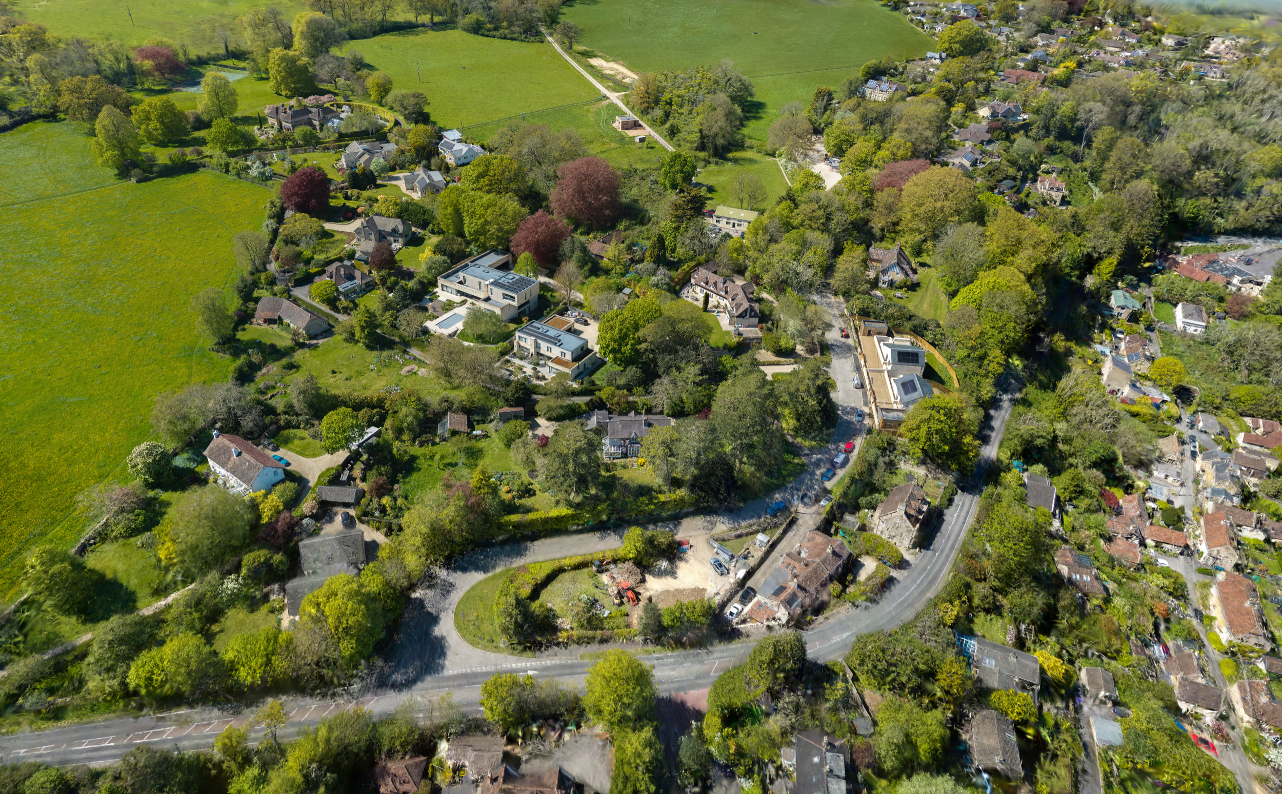
3D Wide-Area Capture
Large gaussian splat models of whole sites, streets or landscapes in one model, showing how a place sits in its surroundings, for planning, development and public engagement
-
![]()
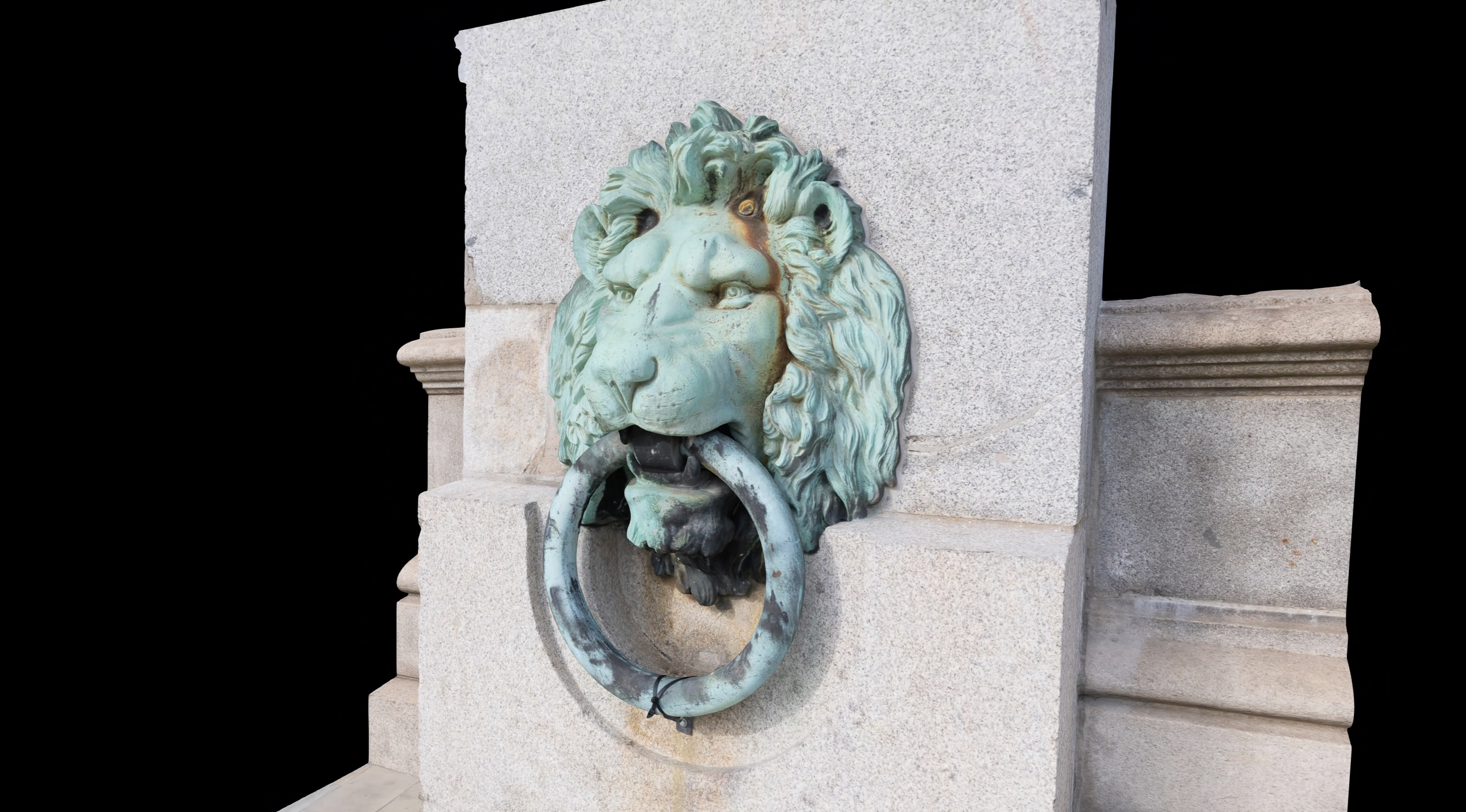
3D for Objects & Detail
Specialist close-range photogrammetry capture of objects, sculpture or building details such as carvings, as a precise 3D record for study, repair and recreation, conservation or display.
The difference you will experience
-

You’ll see real detail
Hi-res cameras and advanced drones allow us to capture exceptional detail from the ground or above.
-

You’ll save time
Fewer site visits. Align dispersed teams and stakeholders remotely, inspect an asset from your desktop or tablet.
-

You can use it anywhere
Host on the web, intranet or offline. No platform lock-in, and your deliverables are yours to keep.
-

Photographer’s eye
Image-quality-first approach with architectural standard planning and capture, so your space looks its best.
Types Of Capture
-

Gaussian Splatting
A Gaussian Splat renders the environment exceptionally well, including lighting, sky and surrounding landscape, along with fine detail such as vegetation. It can also render transparent surfaces like glass. This makes it well suited to work where visualisation is the main objective.
For measuring, a photogrammetric mesh can be used instead or alongside.
-
Photogrammetry & Point Clouds
A photogrammetry mesh captures real, scaled geometry you can measure and work from. Accurate to the building or site as it stands and ready to export to design software with point clouds. This makes it well suited to work where measurement and accuracy are the main objective.
For photorealistic visualisation, a Gaussian Splat can be used instead or alongside.
How we capture
-
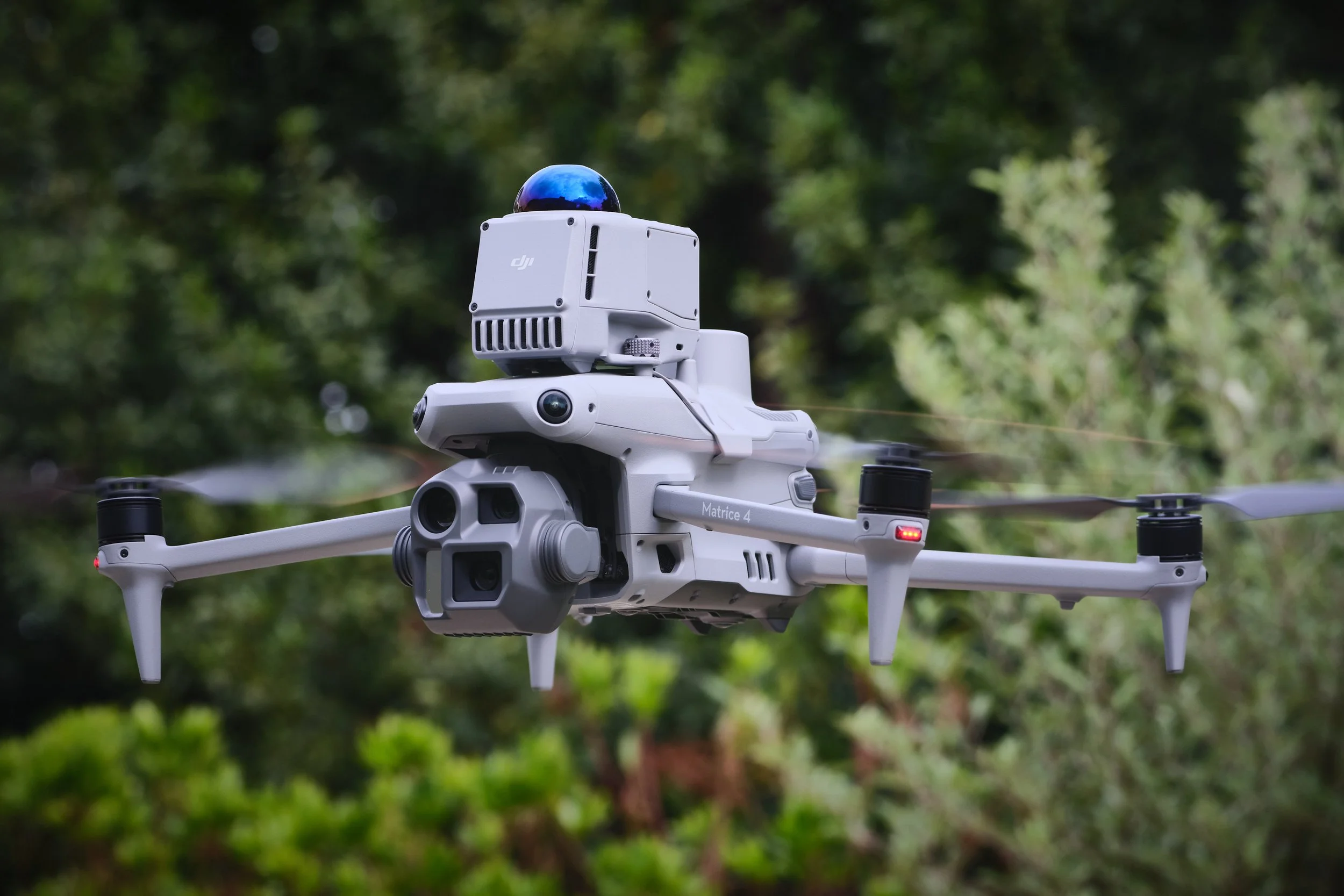
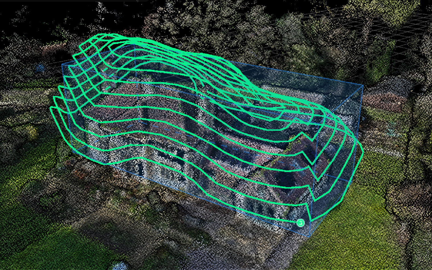
Aerial 3D capture
From a single building to a whole estate, we use enterprise level drones to capture the entire envelope of a structure or site. Ideal for surveys, inspections, heritage records, VFX, marketing and planning.
-
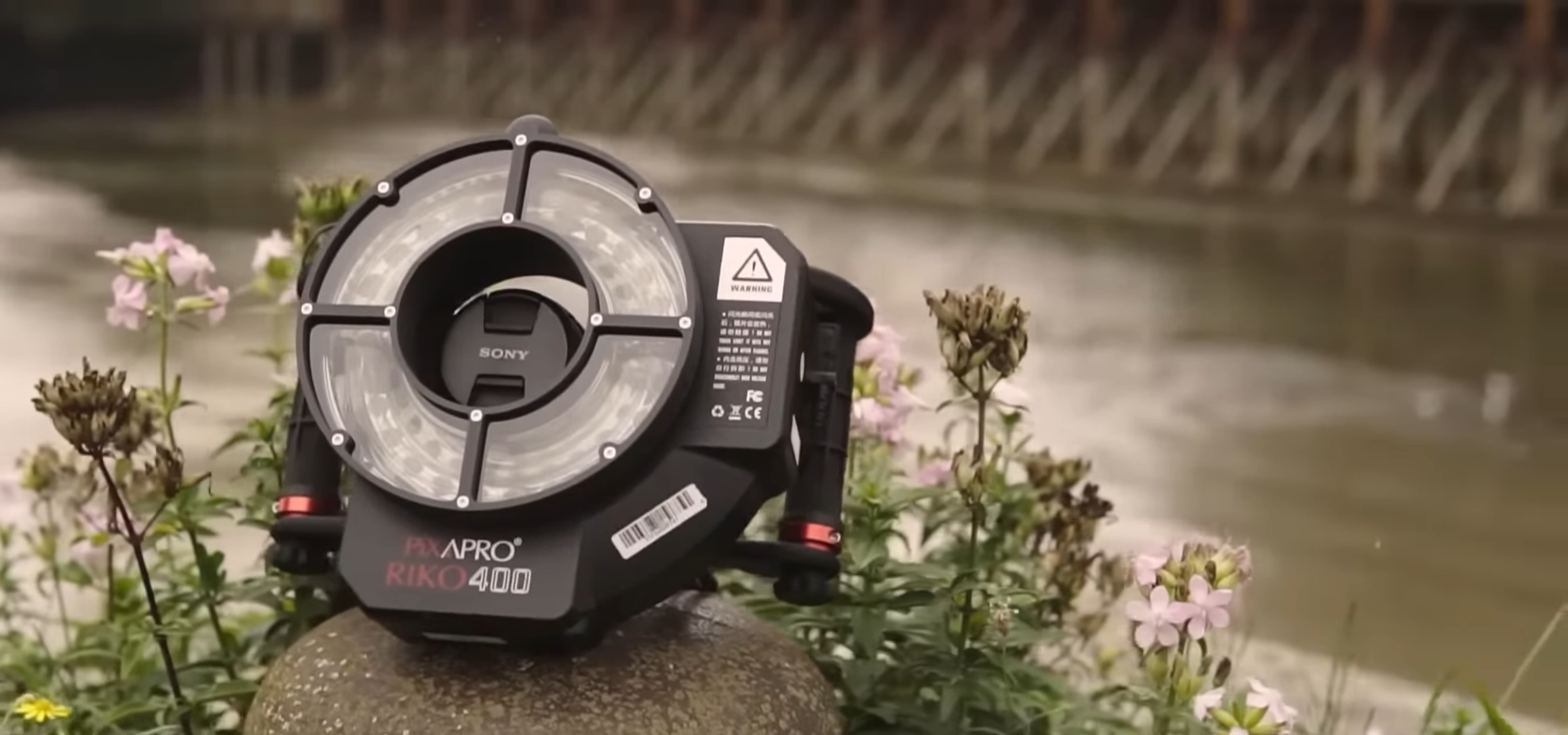
Ground 3D capture
For interiors, objects and anything a drone cannot reach, we capture at ground level, from whole sites & rooms to a single artefact. Suited to condition records, heritage and object documentation, inspection and detailed survey work.
Ready to learn more?
Tell me about your site, use, and deadline. I’ll give you a detailed quote within 24 hours.